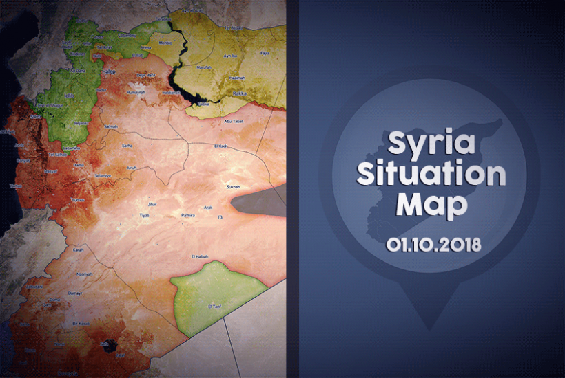
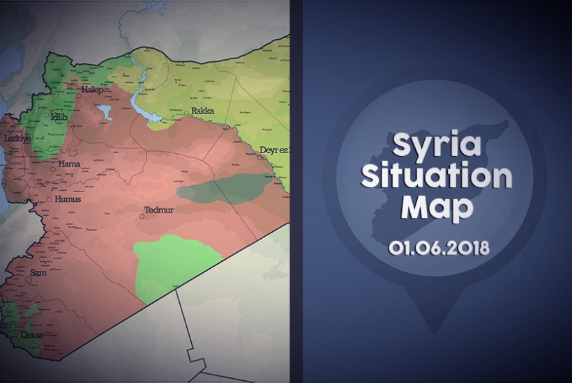
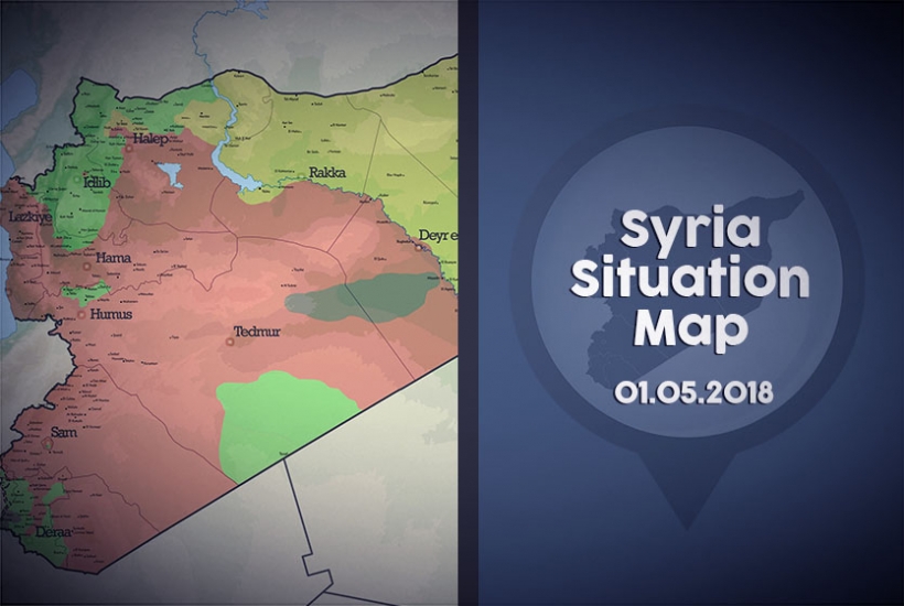
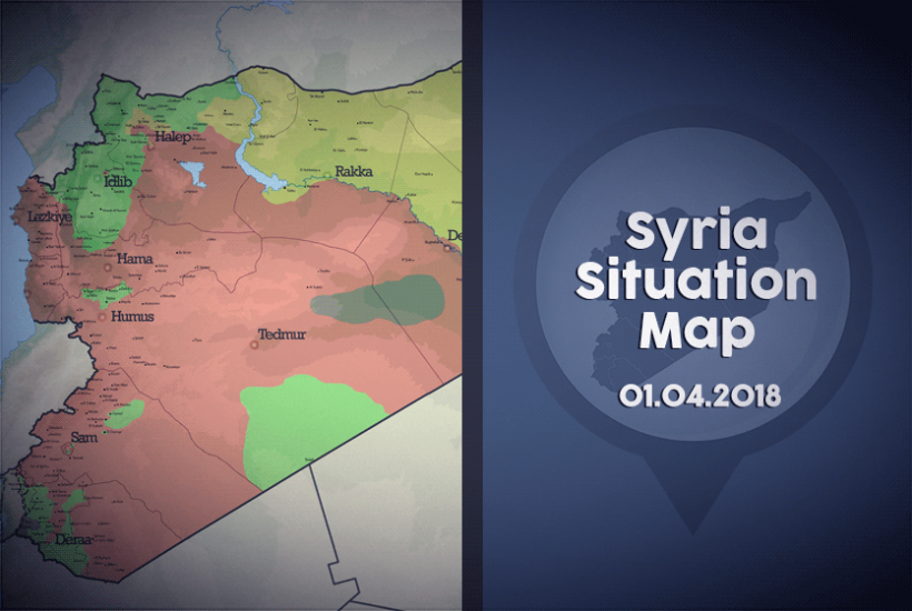
General Situation Map

Syria Situation Map [01.05.2018]
Syria Situation Map [01.05.2018]
The Syrian conflict, which has passed its 7th year, continues to be an arena for power struggles in terms of military, political, economic, demographic and other dimensions.
In the last month, the regime has managed to consolidate its control over the Damascus area where it has captured control over the former rebel-held territories of Eastern Ghouta and Eastern Qalamoun. Nearby Damascus, the Russians and Iran-backed militias together with the regime continue their offensive to take over control of Yarmouk Camp, which is territorially split between Daesh and the opposition.
Since the 18th of March, the TAF and its FSA allies have consolidated control over Afrin city. The area of Tal Rifaat continues to be under the control of the regime-PYD/YPG alliance, while its status remains unresolved.
In rural Deir ez Zor, clashes continue sporadically between DAESH-YPG, YPG-Regime and DAESH-Regime.
Russia and the Iran-backed regime continue their offensives on the opposition-controlled territory in northern Homs and Yarmouk Camp.
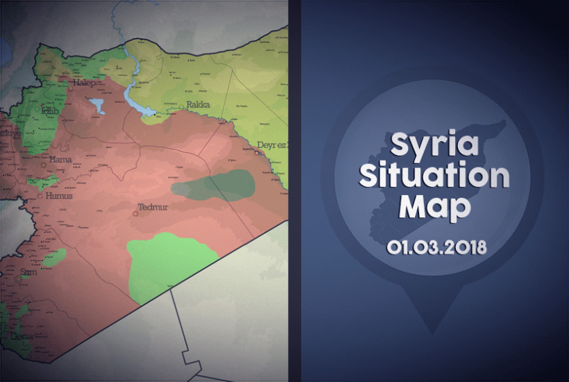
Syria Situation Map 01.03.2018
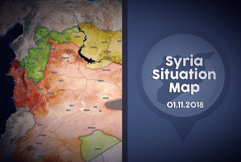
The General Situation Map of Syria, which is updated on the first day of every month, shows the territorial control of Syrian lands by the different actors of the conflict. Click here to see previous months.The green areas show the areas under control of the Syrian opposition. The Syrian opposition includes the FSA, the Southern Front, Jaish al Islam, Faylaq ar Rahman, HTS, Ahrar al Sham, Faylaq al Sham and others. The red areas show the areas controlled by the Assad regime and its allied militias, which include Hezbollah and other Shia militias. The yellow areas show the areas controlled by the PYD/SDF, among which the SDF includes the YPG, YPJ, Jaish al Suwwar and El Senadid. The area shown in black is controlled by DAESH.